


Alaska is about 1.72 million square kilometers (665,000 square miles), roughly the combined area of France, Spain, Germany and Italy. It is the largest US state by a wide margin, more than twice the size of Texas, and it makes up a little over a sixth of the entire United States.
That answers the question, but a number like that only means something beside places you know. This guide lays Alaska over Europe and over the lower 48, explains why most flat maps get it wrong, and then turns the size into practical travel advice: why the roads stop where they do, and how people actually get around. If maps themselves are your rabbit hole, our piece on how world maps distort size goes deeper.
How Big Is Alaska? The Numbers
The US Census Bureau puts Alaska's total area at about 665,384 square miles, or about 1,723,000 square kilometers. Roughly 14 percent of that is water: lakes, rivers, bays and coastal inlets. Texas, the runner-up, covers about 268,596 square miles, so Alaska is about 2.5 times its size.
The state also stretches a long way in every direction. Wikipedia's state summary gives it a width of about 2,261 miles (3,639 km) and a length of about 1,420 miles (2,285 km). The Aleutian Islands even cross the 180th meridian, which makes Alaska technically both the easternmost and the westernmost state.
Alaska vs Europe: How Many Countries Fit Inside?
Here is the comparison most readers came for. Areas are rounded totals from standard references (Wikipedia, cross-checked against national figures), and the last column divides Alaska's 1,723,000 km² by each area. France means mainland France without overseas regions, and Norway includes Svalbard and Jan Mayen.
| Place | Area (km²) | How many fit in Alaska |
|---|---|---|
| Alaska | about 1,723,000 | 1 |
| Mexico | about 1,964,000 | about 0.9 (slightly larger than Alaska) |
| Texas | about 696,000 | about 2.5 |
| Ukraine | about 604,000 | about 2.9 |
| France (mainland) | about 552,000 | about 3.1 |
| Spain | about 506,000 | about 3.4 |
| Norway | about 385,000 | about 4.5 |
| Germany | about 358,000 | about 4.8 |
| Poland | about 313,000 | about 5.5 |
| Italy | about 301,000 | about 5.7 |
| United Kingdom | about 244,000 | about 7 |
| Greece | about 132,000 | about 13 |
| Portugal | about 92,000 | about 19 |
| Ireland | about 70,000 | about 25 |
| Switzerland | about 41,000 | about 42 |
Now stack them. France (about 552,000 km²), Spain (about 506,000), Germany (about 358,000) and Italy (about 301,000) add up to about 1,717,000 km². That is within half a percent of Alaska, so those four countries together are almost exactly one Alaska. Add the United Kingdom and you overshoot by roughly a quarter of a million square kilometers.
The small end is the surprising part. Switzerland fits into Alaska about 42 times and Ireland about 25 times. Both countries feel substantial when you travel through them, which says something about how much empty space Alaska holds.
Alaska vs the Lower 48 and Other States
Alaska makes up about 17.5 percent of the whole US area, so roughly one square mile in every six or seven of American territory is in Alaska. Texas fits inside it about two and a half times, and California, at about 164,000 square miles, fits about four times.
The classic overlay trick shows the width. Drop a copy of Alaska onto the lower 48 and it covers a large share of the country from the Southeast to the Pacific coast. For anyone planning a road trip, here is the catch: that width is mostly mountains, tundra, ice and sea.
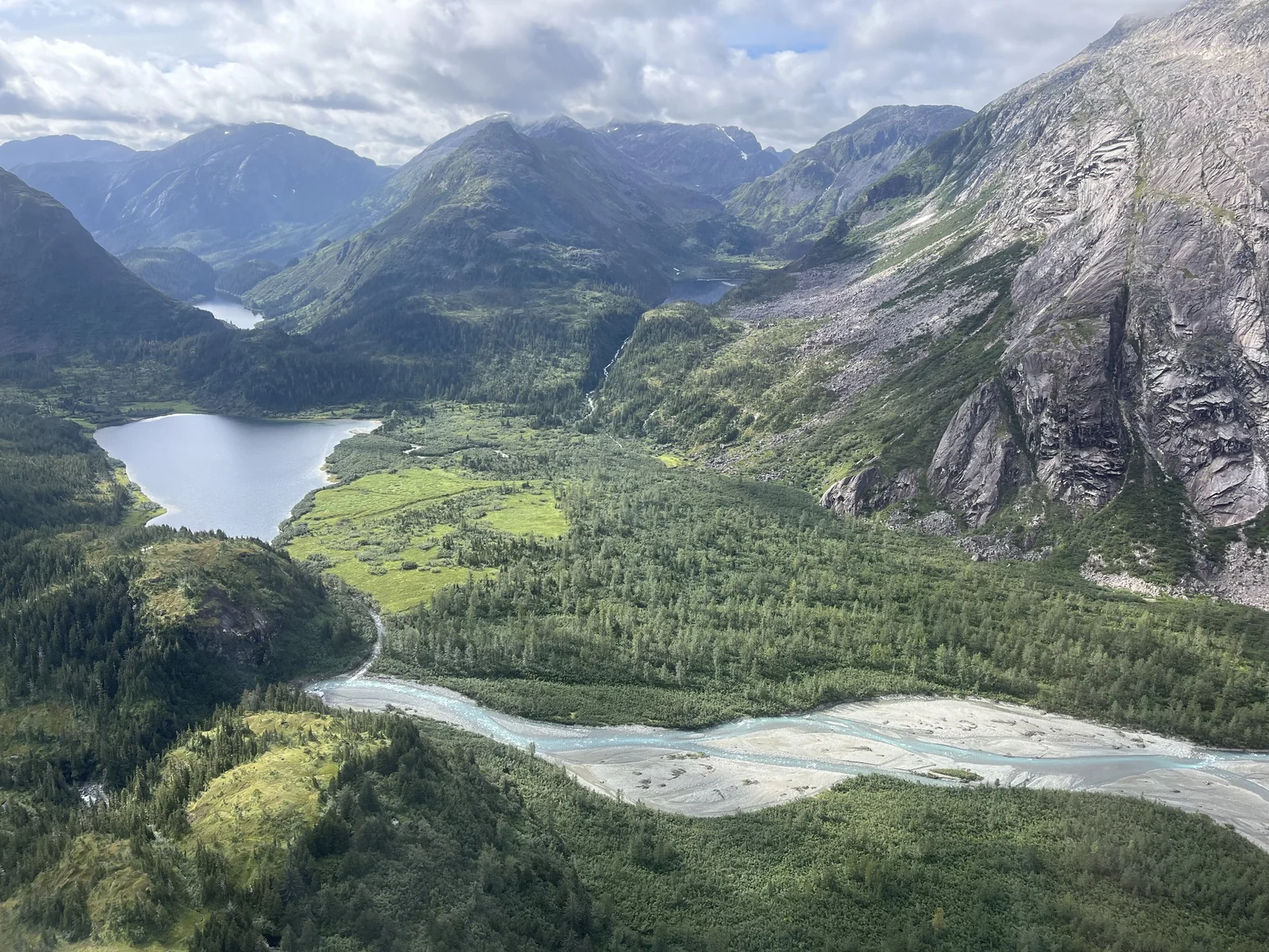
Why Alaska Looks Bigger on a Map
On many classroom and web maps Alaska looks enormous, sometimes nearly as big as the lower 48. That is the Mercator projection at work. It keeps shapes and directions accurate near the equator and stretches everything toward the poles. Areas are inflated by one divided by the cosine of the latitude, squared.
Do the arithmetic for Alaska. At the southern panhandle (about 55° N) areas are exaggerated roughly three times, at Denali and Fairbanks (about 64° N) about five times, and on the Arctic coast (about 71° N) about nine times. Texas, near 31° N, is stretched far less, so on a Mercator map Alaska looks bloated beside it.
It is still very big. To see true sizes, use an equal-area projection, a globe, or an online tool that lets you drag country outlines around a map and shrinks or grows them as the latitude changes. Dragging Alaska down over Mexico is a quick way to feel what 1.7 million square kilometers means.
Alaska Compared With Countries Beyond Europe
Outside Europe the comparison gets closer. Mexico, at about 1.96 million km², is only about 14 percent larger than Alaska. Argentina (about 2.78 million km²) is roughly one and a half times Alaska, and India (about 3.29 million km²) is nearly twice as large.
A simpler way to hold it in your head: Alaska is bigger than any single country in the European Union, and the largest of them, France, would fill only about a third of it. Ukraine, the largest country wholly inside Europe, fills about a third of Alaska as well. Most European trips cross several borders to cover the distance that Alaska packs inside one state line.
Population, Density and Wilderness
The 2020 Census counted 733,391 people in Alaska, an average of about 1.3 people per square mile, the lowest density of any US state. Germany, one fifth of Alaska's area, has more than 80 million residents. Alaska's whole population is smaller than that of many single European cities.
Most Alaskans live in a few places: Anchorage and the surrounding Southcentral region, the Fairbanks area and the towns of the Southeast. Beyond them lie villages, fish camps, federal land and a great deal of open country. Alaska holds about two thirds of all the land in the US national park system, and glaciers cover roughly 75,000 km² of the state.
Coastline and Distances
Alaska has a longer coastline than all the other US states combined. The tidal shoreline, which follows every bay and inlet, is nearly 34,000 miles (55,000 km) by the long-standing NOAA figure, and newer mapping methods give larger totals. The older general coastline measure is about 6,640 miles. The gap between those numbers is a lesson in itself: coastlines grow longer the more closely you measure them, and Alaska's is a maze of fjords and islands.
Distances inside the state add up fast. The main road route between Anchorage and Fairbanks runs around 360 miles, and Anchorage to Seward is roughly 125 miles. Juneau, the state capital, cannot be reached by road at all. Going from the Southeast panhandle to the Arctic coast covers well over a thousand miles, and you would do almost all of it by air.
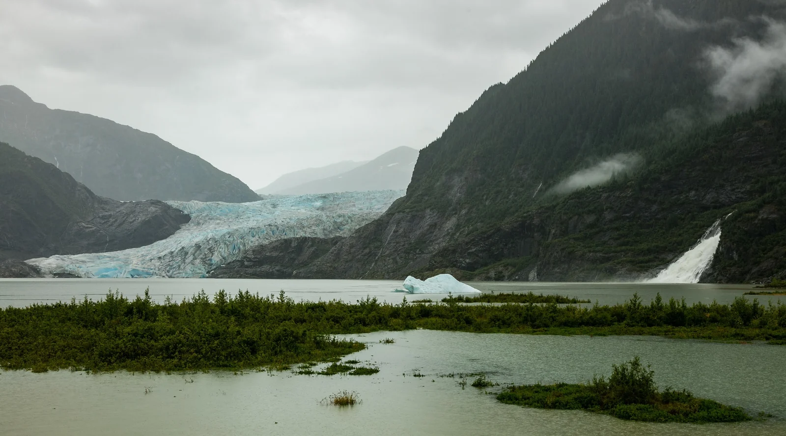
Why Alaska's Road Network Is So Small
A giant state with few people, mountains in every direction, permafrost, countless rivers and a short building season is a hard place to pave. The state transportation department has said that roughly 80 percent of Alaska communities are not on the road system, though the exact share depends on how you count a community. Only Haines, Hyder and Skagway connect directly to the continental road network.
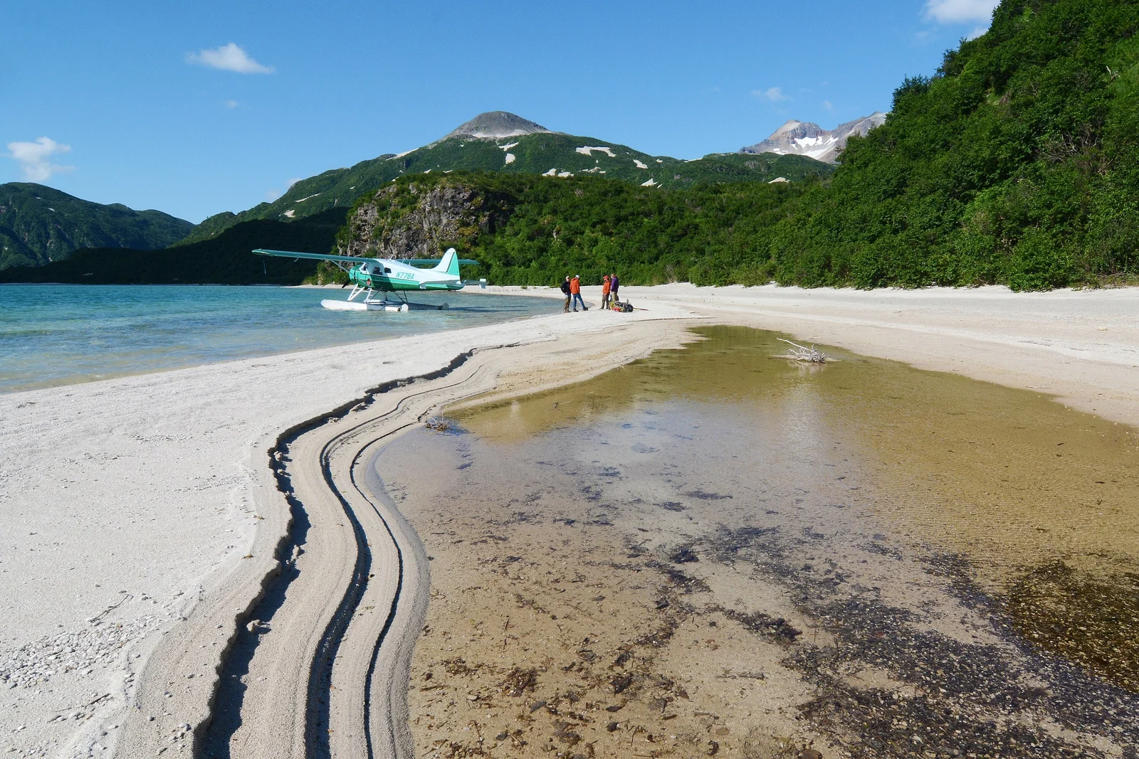
Instead of roads, Alaskans rely on planes, boats, snow machines and, in some places, dog teams. Small aircraft carry groceries, mail and patients, and floatplanes are the standard way into many remote lakes. For a traveler, that one fact changes planning more than anything else in this guide.
What the Size Means for Your Trip
The first rule is to pick a region and stay in it. A one-week trip covers Southcentral (Anchorage, the Kenai Peninsula, Denali) or the Inside Passage, not both. Trying to see everything is how Alaska trips turn into airport days.
Southcentral and Denali
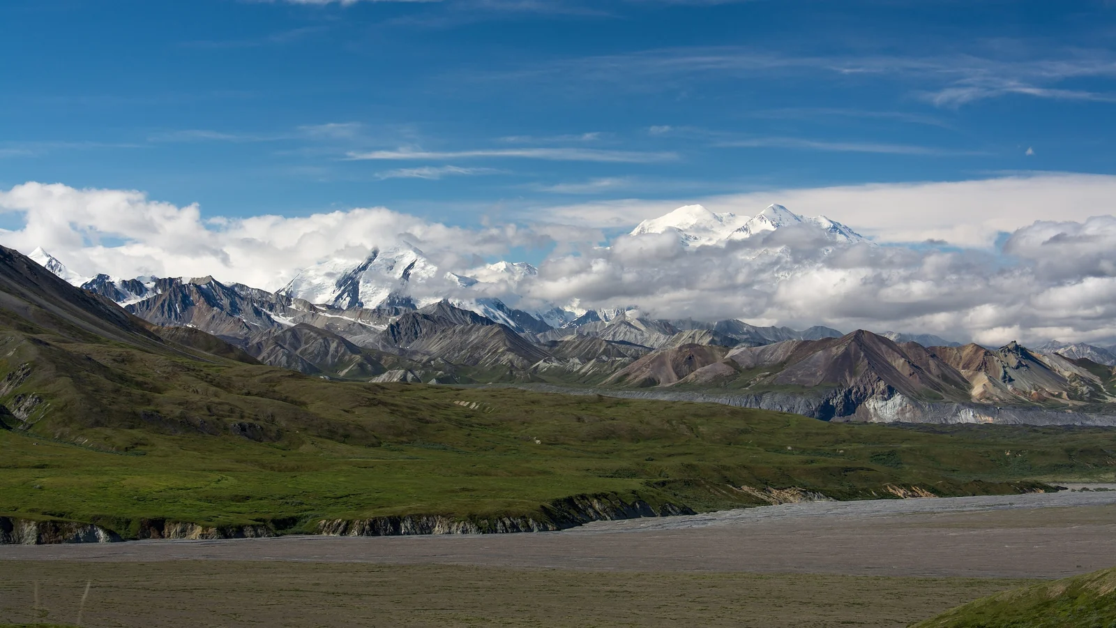
This is the most visited area and the best served by road. The Parks Highway links Anchorage and Fairbanks via Denali National Park, and the Seward Highway runs south to the Kenai Peninsula. Denali covers about six million acres and is crossed by a single main road, so check bus and access rules on the National Park Service Denali page before you build a trip around it.
The Kenai Peninsula
The Kenai is Alaska at a manageable scale: glaciers, wildlife boat tours and fishing towns within a day's drive of Anchorage. It is a sensible first stop if you want big scenery without long flights.
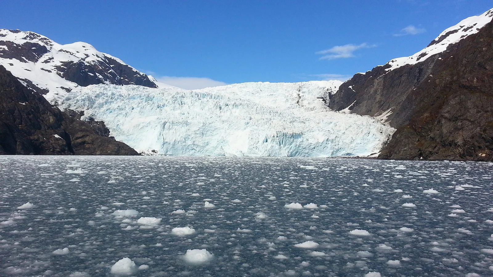
The Inside Passage and the Ferry
Southeast Alaska is a maze of islands and fjords where towns such as Juneau, Ketchikan and Sitka are reached by sea or air. The state-run Alaska Marine Highway System serves more than 30 communities between Bellingham, Washington and Dutch Harbor in the Aleutians, and it can carry vehicles. Schedules change by season and sailings are sometimes adjusted, so check the official site and book early.
Fly-In Towns and Remote Parks
For bear viewing, remote parks and Arctic villages, you fly. Scheduled small-plane carriers and air-taxi operators handle most of it. Expect baggage weight limits and weather delays, and leave a buffer day before any long-haul flight home. Those buffers are the price of traveling somewhere this big.
Practical Tips for Planning Around the Distances
- Pick one or two regions. Southcentral plus Denali is a full week by road and rail; the Inside Passage is its own trip.
- Measure in hours, not miles. Mountain highways, road work and wildlife stops slow every drive, so treat map distances as a minimum.
- Book the scarce things first. Ferries, park buses, remote lodges and small-plane seats fill before hotels do, so reserve them early.
- Leave slack for weather. Fog and wind can ground small planes and delay ferries, which is why a spare day before any long-haul flight is cheap insurance.
- Check official sources. Park access, ferry schedules and road conditions change, so confirm them with the National Park Service, the state ferry system and the state transportation department before you go.
None of this is meant to put you off. Alaska rewards the traveler who accepts its scale instead of fighting it. A slow week in one region, with time to watch the weather and take the boat trip you did not plan, is almost always better than a rushed tour across three.
More Northern Trips to Compare
If you are weighing Alaska against other northern trips, our guides to Norway's fjords and Lofoten and the Canadian Rockies show a more road-friendly version of similar scenery. For aurora chasing, see where to watch the northern lights, and browse the USA category for other American trips.
How Big Is Alaska FAQ
How big is Alaska compared to Europe?
Alaska's area of about 1.72 million km² is roughly equal to France, Spain, Germany and Italy combined. It is far smaller than Europe as a whole, which covers about 10 million km² including European Russia, but it is larger than every European country except Russia.
Is Alaska bigger than Texas?
Yes, by a lot. Alaska is about 665,000 square miles and Texas about 269,000, so Alaska is roughly 2.5 times larger. Alaska is the biggest US state and Texas is second.
How many Germanys or United Kingdoms fit in Alaska?
Almost five Germanys or about seven United Kingdoms fit in Alaska. Alaska covers about 1,723,000 km², Germany about 358,000 km² and the UK about 244,000 km².
Why does Alaska look so big on maps?
Most flat maps use the Mercator projection, which stretches areas more the farther they are from the equator. At Alaska's latitudes the inflation is roughly three to nine times in area. Equal-area maps and globes show its real size.
Can you drive around Alaska?
You can drive through the central part of the state, between Anchorage, Denali, Fairbanks and the Kenai Peninsula, and into Canada on the Alaska Highway. Many communities, including the capital, Juneau, have no road link, so you need ferries or flights.
How long does it take to see Alaska?
A week covers one region well, such as Southcentral or the Inside Passage. Two weeks lets you combine two regions with an internal flight or ferry. Seeing the whole state in one trip is not realistic, so choose a focus.
How many people live in Alaska?
The 2020 Census counted 733,391 residents, or about 1.3 people per square mile. That is the lowest population density of any US state, which is why so much of the land is wilderness.