


The Sahara is the largest hot desert on Earth, covering about 9.2 million square kilometers of North Africa, from the Atlantic coast to the Red Sea. Its great sand seas, the ergs, hold some of the most beautiful dunes in the world, but they make up only around a quarter of the desert. The rest is rocky plateau, gravel plain and mountains.
It is worth visiting for the silence, the night skies and the chance to sleep in a camp among the dunes, but also for its history: prehistoric rock art, oasis towns and caravan routes. This guide explains the Sahara’s geography, its past and its people, and where travelers can go safely today.
How Big Is the Sahara Desert?
At roughly 9.2 million square kilometers, the Sahara is about the size of the United States or China and is the third-largest desert overall, after the polar deserts of Antarctica and the Arctic. It reaches into eleven countries and territories: Algeria, Chad, Egypt, Libya, Mali, Mauritania, Morocco, Niger, Sudan, Tunisia and Western Sahara.
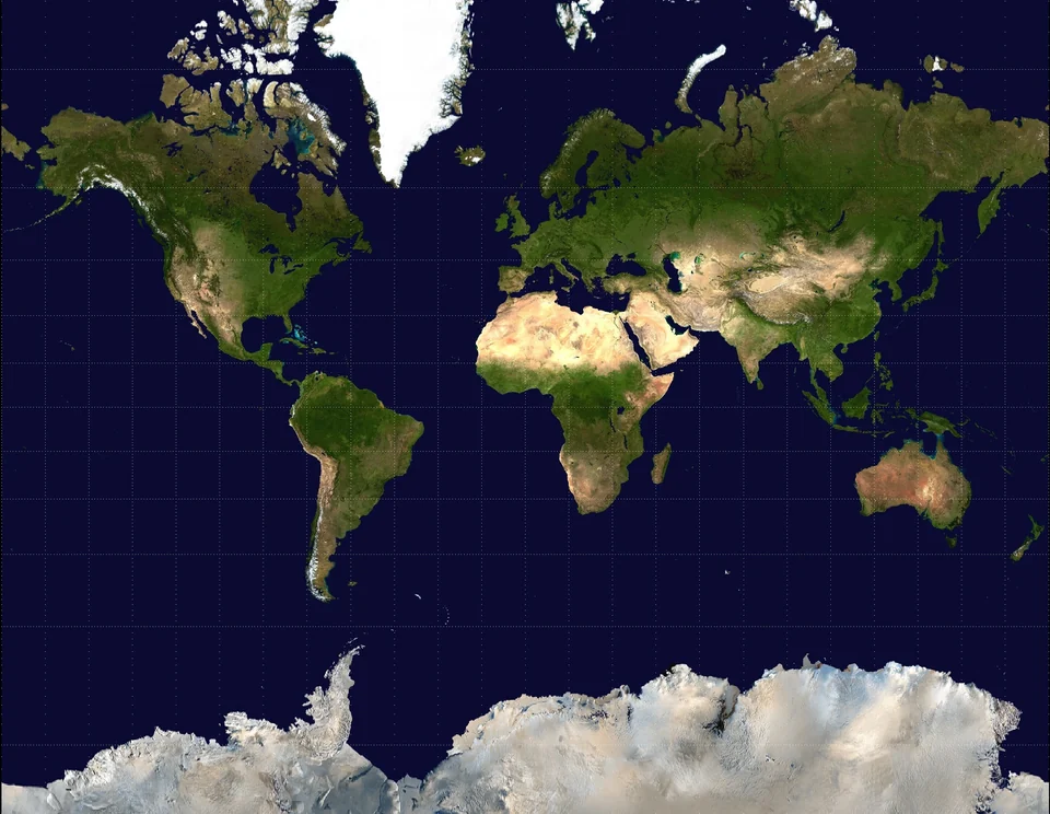
Standard world maps tend to shrink Africa, which makes the Sahara look smaller than it is. Our article on the truth behind world maps explains why. The name itself comes from the Arabic word for “desert,” so “Sahara Desert” is, strictly speaking, a repetition.
| Feature | Detail |
|---|---|
| Area | About 9.2 million km² |
| Highest point | Emi Koussi, a volcano in Chad’s Tibesti Mountains, roughly 3,415–3,445 m depending on the survey |
| Lowest point | Qattara Depression, Egypt, about 133 m below sea level |
| Share covered by sand | Roughly a quarter |
| Population | Around 2.5 million people |
| Largest city | Nouakchott, Mauritania |
Sand Seas and the Sahara’s Other Landscapes
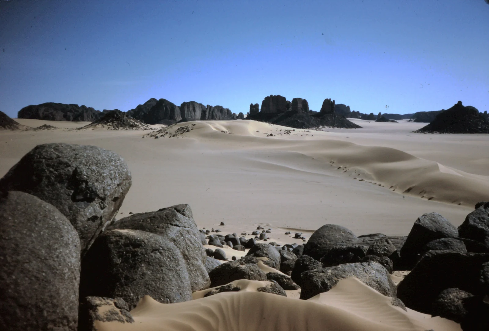
When the Sahara does turn to sand, it does it on a huge scale. The largest ergs, such as the Grand Erg Oriental and Grand Erg Occidental in Algeria and the Great Sand Sea on the Egypt–Libya border, each cover areas larger than many European countries. Winds shape the sand into long ridges, crescent dunes and star dunes that can rise well over 100 meters.
- Erg (sand sea): the classic dunes, from gentle waves to towering star dunes.
- Hamada: bare, rocky plateaus swept clean of sand by the wind; the most common Saharan landscape.
- Reg: flat plains of gravel and pebbles that stretch to the horizon.
- Mountains: volcanic and sandstone massifs such as the Tibesti in Chad, the Hoggar in Algeria and the Aïr in Niger.
- Oases: places where groundwater reaches the surface, supporting date palms, gardens and towns.
The Green Sahara and Its Rock Art
The Sahara has not always been a desert. Scientists have identified hundreds of humid phases in North Africa over millions of years, recurring roughly every 21,000 years as Earth’s orbit shifts. During the most recent, the African Humid Period, which ended around 5,000 years ago, monsoon rains reached far north, and lakes, rivers and grassland covered much of today’s desert.
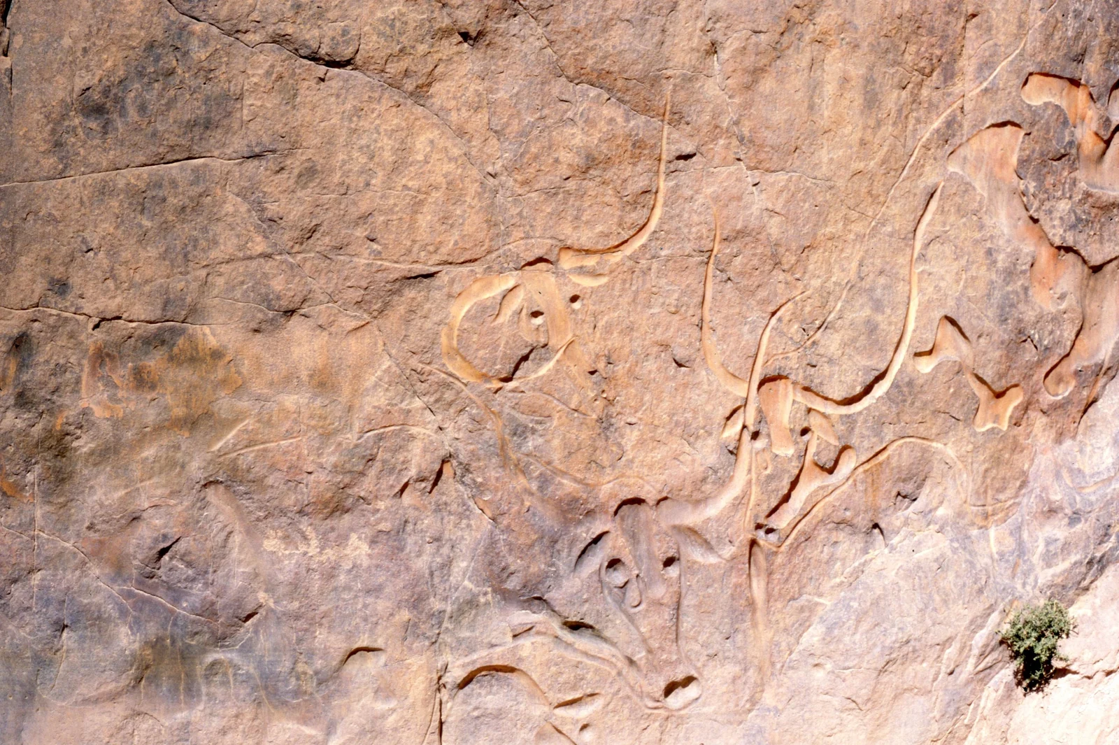
The best record of that world is painted and carved on rock. In the Tassili n’Ajjer of southeastern Algeria, a UNESCO World Heritage Site since 1982, about 15,000 engravings and paintings show giraffes, hippos, herds of cattle and people hunting and dancing. The art spans thousands of years, from the earliest wild-animal engravings to later scenes with horses and, finally, camels, which arrived as the land dried out.
People of the Sahara
Around 2.5 million people live in the Sahara, many of them in oasis towns and the fringes of the desert. The Tuareg, a Berber people of the central Sahara, are known for the indigo-dyed veils worn by men, which earned them the nickname “blue people.” Amazigh (Berber) communities live across the northern Sahara and the Maghreb, while Arab, Toubou, Moorish and other peoples have their own long histories in different parts of the desert.
For well over a thousand years, camel caravans crossed the desert carrying salt, gold, textiles and other goods between West Africa and the Mediterranean. That trade helped make cities such as Timbuktu in Mali wealthy centers of commerce and scholarship.
Where to Visit the Sahara Safely
Security varies hugely across the desert. Much of the central and southern Sahara is currently off-limits: the UK Foreign Office, for example, advises against all travel to Mali and Niger, to most of Libya and to border zones in southern Algeria. Most travelers visit the desert’s northern edge, where tourism is well established.
Morocco: Merzouga and Erg Chigaga
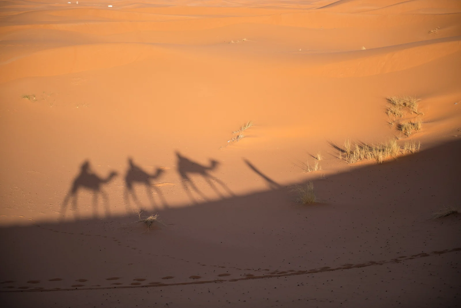
Morocco is the easiest place to see Saharan dunes. Erg Chebbi, next to the village of Merzouga, is about 28 kilometers long and has dunes up to around 150 meters high. Overnight camel treks and desert camps are widely available. Erg Chigaga, reached by 4x4 from M’Hamid beyond Zagora, is larger and more remote.
Tunisia: Douz and the Grand Erg Oriental
The oasis town of Douz is known as a gateway to the Sahara, with camel rides into the edge of the Grand Erg Oriental and a desert festival held in winter. Tozeur, with its palm groves and nearby film sets, is another popular base. UK advice excludes zones near the Libyan border, so check routes before booking a deep-desert trip.
Egypt: Siwa and the White Desert
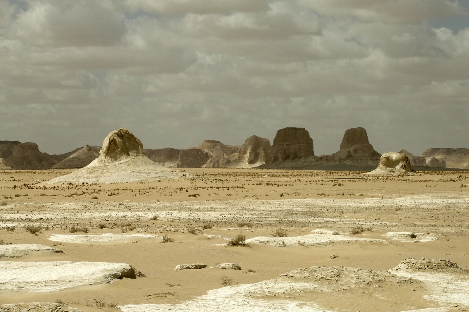
In Egypt’s Western Desert, the oasis of Siwa sits at the edge of the Great Sand Sea, while the White Desert near Farafra is famous for chalk rock formations sculpted by the wind. UK advice permits travel to these areas but advises against all but essential travel on the road between Bahariya and Siwa, so plan your route with a licensed operator.
Southern Algeria’s Tassili n’Ajjer, usually visited from Djanet, and Chad’s Ennedi Massif are extraordinary but require specialist operators and careful checks of current advice. Always read your government’s latest guidance, such as the UK Foreign Office advice for Egypt, before you book.
Best Time to Visit the Sahara
| Season | What to expect |
|---|---|
| October to November | Warm days, cool nights; one of the best windows for camel treks and camping |
| December to February | Pleasant daytime temperatures but cold nights that can approach freezing |
| March to April | Warming up; spring winds can bring sandstorms |
| May to September | Extreme heat, with average highs of 38–40°C or more across much of the desert; trips are short or avoided |
Tips for a Desert Trip
- Go with a licensed local operator. Desert navigation, water supply and vehicle breakdowns are serious risks, and local guides know the terrain.
- Pack for both extremes: light, long-sleeved clothing and a hat for the day, and warm layers for cold nights.
- Protect your eyes and gear: sunglasses, a scarf for wind-blown sand and sealable bags for cameras and phones.
- Drink more than you think you need, even in winter.
- Respect rock art: never touch, wet or trace paintings and engravings, and do not take stones or artifacts.
- Leave no trace: carry out all rubbish; plastic lasts almost forever in the dry air.
Planning a wider trip? Our guide to must-see places in Africa covers the whole continent, and Africa’s tallest waterfalls includes Morocco’s Ouzoud Falls, an easy addition to a Moroccan desert trip. You can also browse all our Africa travel guides.
Sahara Desert FAQ
How big is the Sahara Desert?
The Sahara covers about 9.2 million square kilometers across eleven countries and territories in North Africa, roughly the size of the United States or China. It is the largest hot desert in the world and the third-largest desert overall after Antarctica and the Arctic.
Is the Sahara Desert all sand?
No. Sand seas, called ergs, cover only around a quarter of the Sahara. Most of the desert is rocky plateau (hamada), gravel plains (reg), dry valleys and mountain ranges such as the Tibesti in Chad and the Hoggar in Algeria.
Was the Sahara ever green?
Yes. During the African Humid Period, which ended around 5,000 years ago, much of the Sahara held lakes, rivers and grassland. Rock art at sites such as Tassili n’Ajjer in Algeria shows giraffes, hippos and cattle herds that could not survive there today.
Where is the easiest place to see the Sahara?
Morocco is the most accessible option. Merzouga, beside the Erg Chebbi dunes, can be reached by road from Fez or Marrakesh, and many operators run overnight camel treks and desert camps. Douz in Tunisia and Siwa in Egypt are other popular gateways.
When is the best time to visit the Sahara?
October to April is best. Days are warm rather than dangerously hot, although winter nights can approach freezing. From May to September, average highs across much of the desert reach 38 to 40°C or more, and trips are best kept short.
Is it safe to visit the Sahara?
It depends on where you go. Tourist areas in Morocco, Tunisia and Egypt’s Western Desert oases are widely visited, while much of the central and southern Sahara, including Mali, Niger and most of Libya, is covered by government advice against all travel. Check current advice and use licensed operators.
What is the highest point in the Sahara?
The highest point is Emi Koussi, a large volcano in the Tibesti Mountains of northern Chad, which rises to roughly 3,415 to 3,445 meters depending on the survey. The Tibesti is one of the most remote mountain ranges in the world and very rarely visited.