


The Tugela Falls hike climbs to the rim of the Amphitheatre, a basalt wall in the Northern Drakensberg of South Africa, and ends at the lip of one of the tallest waterfalls on Earth. Most people do it from the Sentinel car park, a long day walk that includes the famous chain ladder and an easy stroll across the summit plateau.
Plan on a full day, a very early start and clear weather. The falls drop about 948 meters over five tiers, which makes Tugela the tallest waterfall in Africa and, by the usual figures, the second tallest in the world. Our guide to the tallest waterfalls in Africa puts it in context. Below you will find the two ways up, how hard the walk is, when the water flows (or freezes), safety on the escarpment, entry rules, where to base yourself and what to pack.
What Tugela Falls Is and How Tall It Really Is
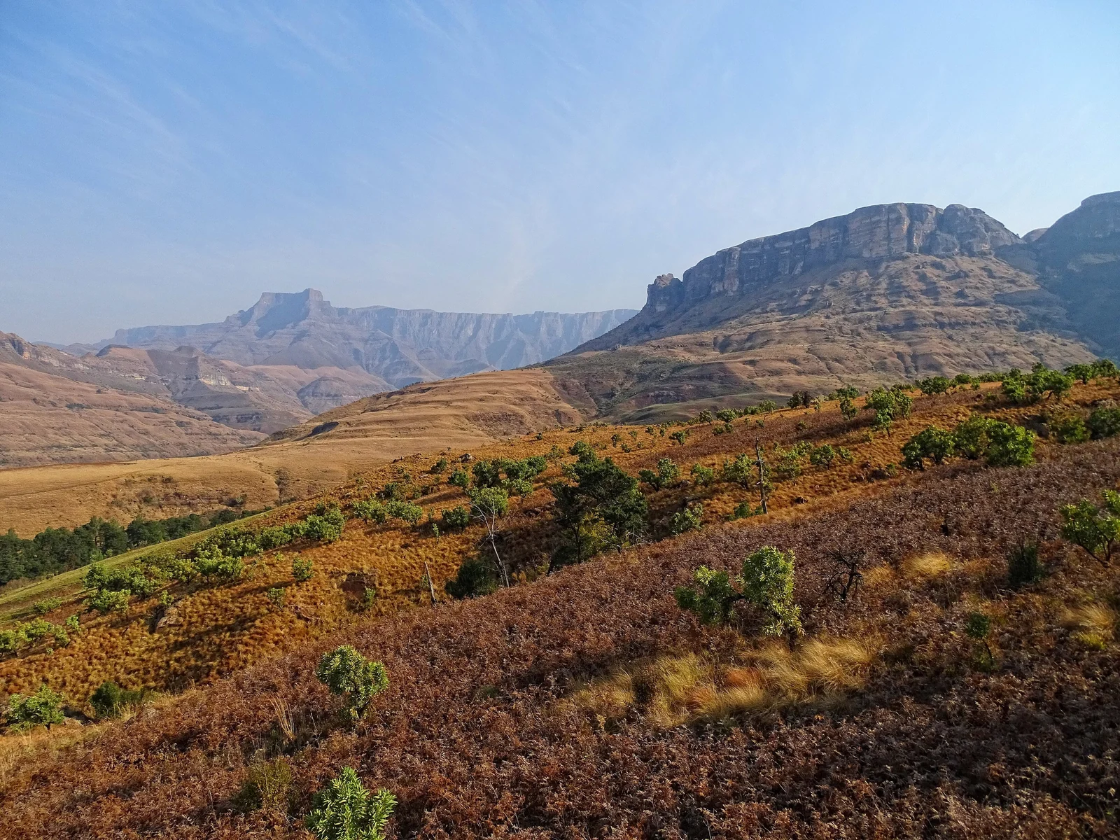
Tugela Falls pours off the Amphitheatre, a rock wall about five kilometers long in Royal Natal National Park, KwaZulu-Natal. The Tugela River begins on the Mont-aux-Sources plateau above, then leaps from the rim in five free-leaping drops. The official combined height is about 948 meters, and the longest single drop is roughly 411 meters.
Rankings depend on method. Angel Falls in Venezuela wins on a single uninterrupted plunge, and Tugela is commonly listed second overall, though the comparison is still debated. Either way, it is the highest waterfall in Africa, and you stand beside the top of it at the end of the trail.
The flow is seasonal. After heavy summer rain the falls are easy to see from the park road, and the water can hang against the cliff like a white rope. In the dry months it can shrink to a trickle, and after a hard cold spell parts of it can freeze into ice. From the top you stand at the head of the falls, so for the full cascade look up from the Royal Natal side or from a distance in the valley.
Two Ways to Reach the Top
There are two broad approaches. They start in very different places, so choose before you book accommodation.
The Sentinel car park route (the standard hike)
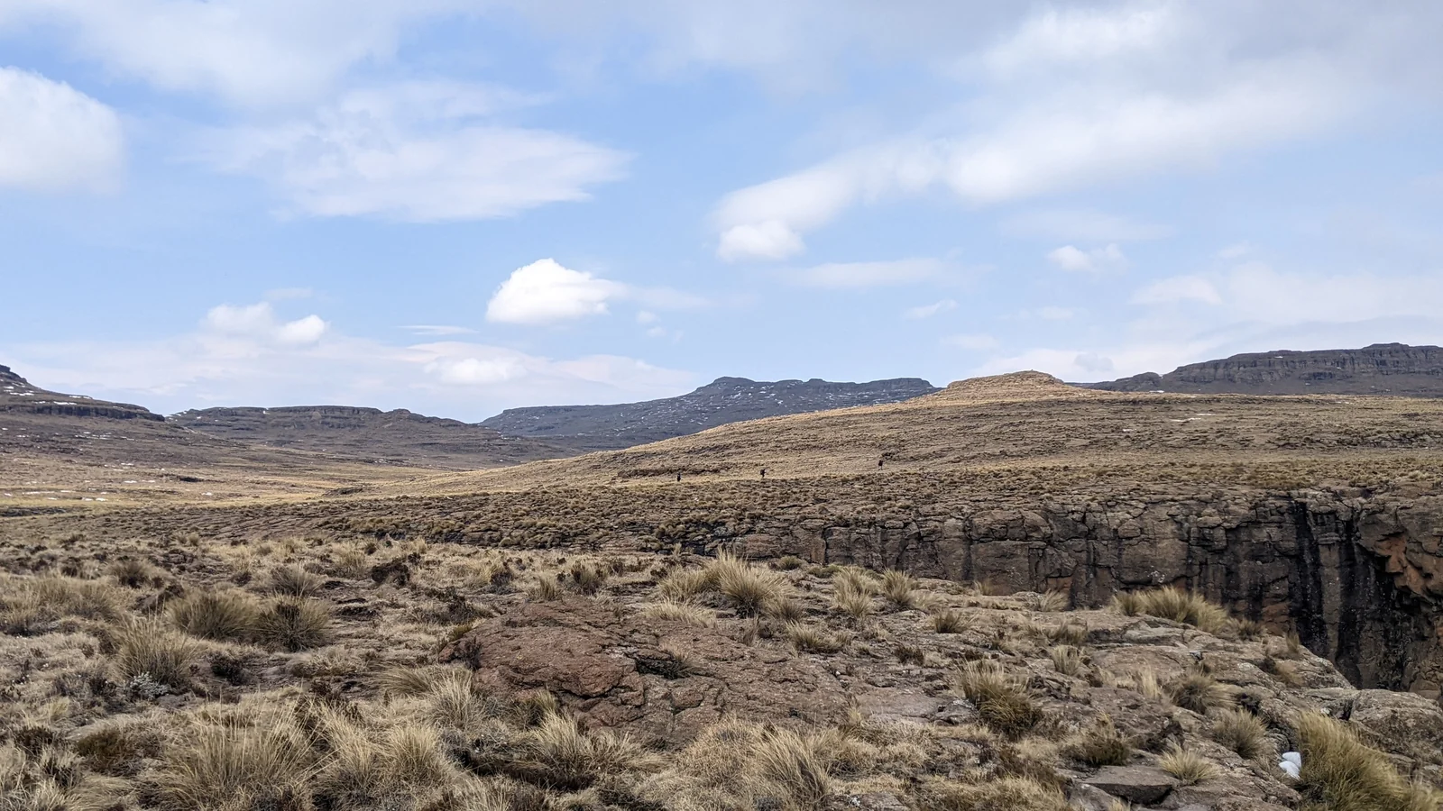
This is the route almost everyone means by the Tugela Falls hike. A road climbs from Witsieshoek, on the Free State side of the escarpment, to the Sentinel car park, so you begin the walk already high on the mountain. The path climbs in zigzags below the cliffs to the base of the chain ladder, which usually takes the average walker about an hour to an hour and a half. The ladder is fixed to the rock in two sections and lifts you through the final cliff band onto the plateau. From there you cross open grassland to the edge of the Amphitheatre and the head of the falls.
The ladder looks dramatic in photos and feels easier in practice. It is a fixed chain ladder, not a technical climb. People with a strong fear of heights still find it uncomfortable, and it can be slow at busy times, so keep a gap to the group ahead. A gully alternative exists for those who would rather skip the ladder, but ask locally about its current condition, since it is steeper and rougher.
The high start is why this route is popular. Road conditions to the car park change with weather and maintenance, and the last stretch past Witsieshoek Mountain Lodge has been reported as rough, so ask the lodge about the current road and the vehicle they recommend.
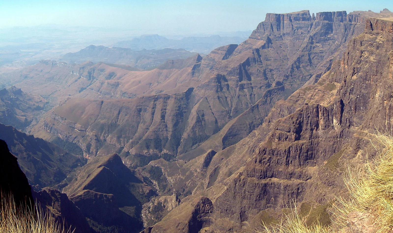
The Royal Natal and Witsieshoek approaches
The other way is to start lower down instead of driving up to the Sentinel car park. The Royal Natal side has trails from the Thendele area, including the much-loved Tugela Gorge walk, a climb of about 7 kilometers up the gorge that ends with a boulder hop and a short chain ladder at the foot of the falls rather than the top. Longer, steeper routes onto the plateau also exist from the park side. Treat them as full-day or multi-day mountain trips, ask the park office or a local guide about the current state of the path, and do not attempt them without proper navigation.
For most visitors the best pairing is the Sentinel route to the top plus a separate Tugela Gorge walk. That way you see the falls from above and from below.
Distance, Time and Difficulty
| Route | Starting point | Ends at | Character |
|---|---|---|---|
| Sentinel car park route | Sentinel car park near Witsieshoek | Top of Tugela Falls | Full-day return hike with a two-section chain ladder; moderate to difficult |
| Tugela Gorge walk | Royal Natal National Park (Thendele area) | Foot of the falls | Long half-day to full-day return; boulder hop and a short chain ladder at the end |
| Longer plateau routes | Royal Natal side | Plateau and falls | Longer and steeper; guide advised; confirm locally |
Sources describe the Sentinel route as a round trip of roughly 11 to 16 kilometers and about six to eight hours including time at the top, but figures vary with the pace of your group and the conditions. Confirm the distance and times with your lodge, and plan your turnaround time rather than your arrival time. Agree a cut-off hour at the start and turn back when you reach it, even if the falls are close.
Best Time to Hike and What the Water Does
Season decides both the scenery and the risk. The summer months, roughly November to March, are the wet season, with the highest flow and the greenest slopes, but they also bring afternoon thunderstorms and thick cloud that can hide the view. Winter, roughly June to August, is dry, with clear skies and sharp cold. The water is low then, and after a cold snap the falls can freeze into ice, though this is never guaranteed.
| Season | Flow | Conditions on the mountain |
|---|---|---|
| Summer (about Nov–Mar) | Strongest | Warm lowlands, afternoon storms, mist and lightning risk |
| Autumn (about Apr–May) | Moderate and falling | Often settled, clear days, cooler mornings |
| Winter (about Jun–Aug) | Low, sometimes partly frozen | Dry and clear but very cold, wind chill, possible ice and snow on the plateau |
| Spring (about Sep–Oct) | Low to rising | Variable weather, first storms, cool starts |
If you want to see plenty of water, go after the summer rains, early in the day, with a flexible plan. Late summer and early autumn are often recommended for flow with fewer storms. If you want clear views and steadier weather, autumn and winter are often kinder, and a frozen Tugela is a sight in its own right. In any month, mountain weather can turn quickly, so check the forecast the night before and again at breakfast.
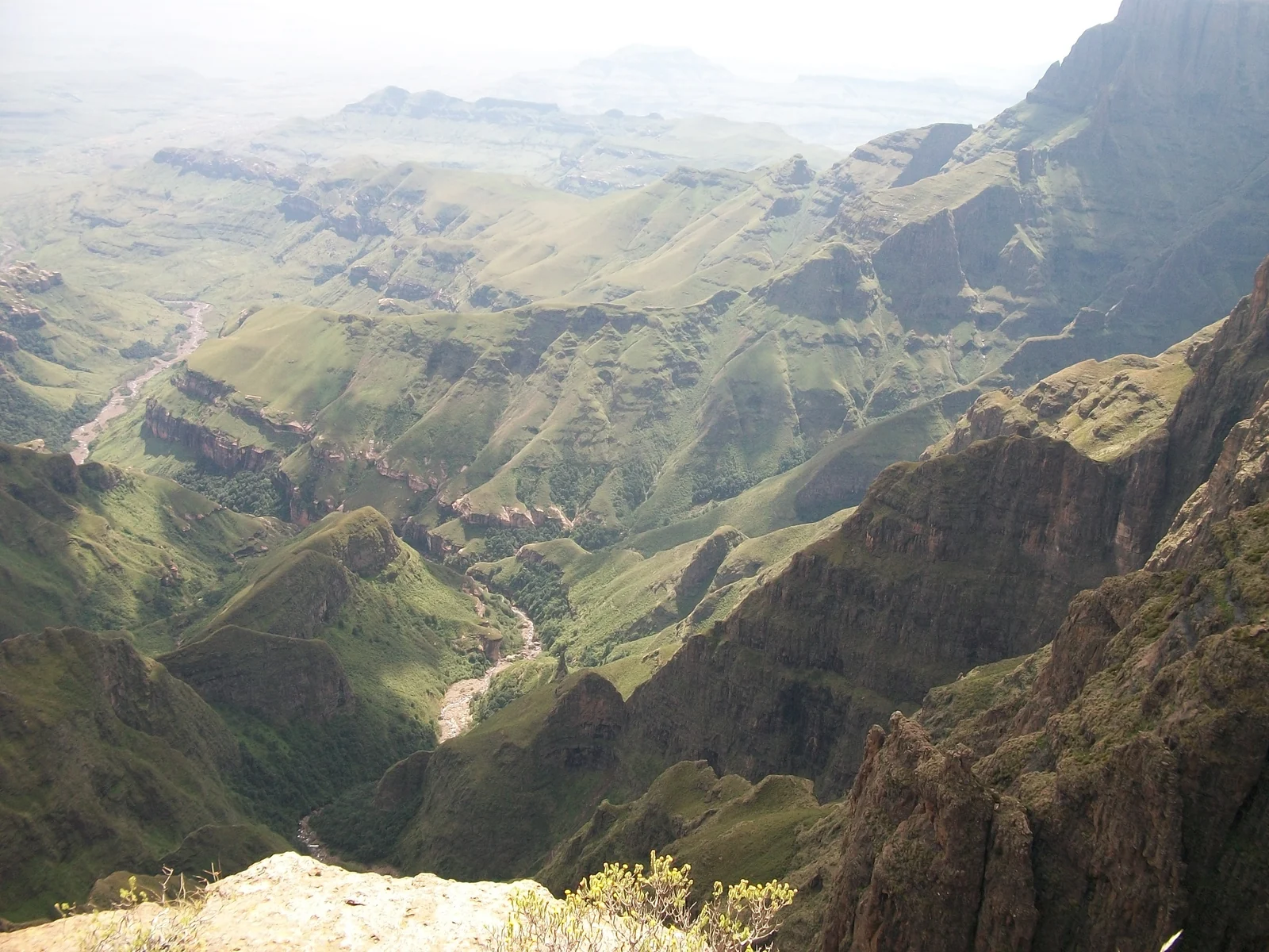
Weather, Mist and Lightning Safety
The Drakensberg is a place where hikers do get caught out, and the top of the escarpment is exposed. These points matter more than any gear choice.
- Start at first light. Early starts keep you ahead of the afternoon storms that build in summer and give you a margin if the trail takes longer than expected.
- Respect lightning. The plateau has no cover. If storms are forecast or clouds are towering by late morning, do not go up, and if one builds while you are on top, descend at once.
- Mist changes everything. Cloud can drop in minutes and hide both the path and the cliff edge. Stay back from the lip of the falls and never walk near the edge in poor visibility.
- Carry layers in every season. The summit can be far colder than the valley, and wind makes it feel worse.
- Take your turnaround time seriously. Descending the ladder in fading light is how a good day becomes a rescue.
Permits, Park Entry and Guides
Access around the Amphitheatre involves different land managers, and arrangements change. Royal Natal National Park is part of the uKhahlamba Drakensberg Park, managed by Ezemvelo KZN Wildlife, and hikers there generally sign a mountain register and pay entry or hiking fees. The Sentinel route begins on the Free State side, where hikers usually register and pay a hiking fee at the car park and may pay a toll on the access road, so gates and fees differ from Royal Natal. Check current amounts and rules with your accommodation or the managing authority before you go.
You do not necessarily need a guide for the standard Sentinel route in good weather if you are fit and can follow a path. A local guide is a smart choice for a first Drakensberg hike, in uncertain weather, for the longer approaches, or if you simply want someone who knows when to turn back. Lodges and the park office can usually arrange one. Ask about group size and agree the price in advance.
Ezemvelo KZN Wildlife publishes visitor information on its official site, and the UNESCO listing for uKhahlamba / Drakensberg Park describes the protected area as a whole.
Where to Base Yourself
Choose a base by the route you plan. For the Sentinel hike, the closest practical base is Witsieshoek Mountain Lodge or other lodges near Witsieshoek, which put you near the car park and make an early start realistic. Some lodges run shuttles to the trailhead, so ask when booking. For Royal Natal and the Tugela Gorge walk, stay around the park itself, in the Northern Drakensberg.
Bergville is the small town that serves the Royal Natal side of the Northern Drakensberg. It has shops, fuel and places to eat, so it is a good stop to stock up before the Tugela Gorge walk. It is not a convenient base for the Sentinel route, which is reached from the Free State side through Harrismith and Phuthaditjhaba.
Getting There from Johannesburg and Durban
Most visitors arrive by car. For the Sentinel route, the usual approach is the N3 to Harrismith, then the road through Phuthaditjhaba to Witsieshoek. From Johannesburg that is roughly 370 kilometers, typically a half-day drive, and Durban sits at the other end of the same N3 corridor. For Royal Natal, drive toward Bergville and follow the signs into the park. These are general estimates, so use a route planner and allow extra time for traffic, roadworks and the final stretch of road.
Public transport to the trailheads is limited, so rent a car or arrange a transfer with your lodge. The Sentinel approach road can be rough, and your lodge can tell you what vehicle suits current conditions. More trips are collected in our South Africa guides and the wider Africa section.
What to Pack for the Tugela Falls Hike
- Sturdy hiking boots or shoes with good grip, since rock steps and ladders can be wet
- Layers: a warm mid-layer, a windproof and waterproof shell, a hat and gloves, even in summer
- Plenty of water, at least two to three liters per person, plus snacks and lunch for a long day
- A headlamp for early starts and in case the return runs late
- A charged phone with offline maps, a paper map or GPS track, and a whistle
- Some cash, since fees at the Sentinel car park have been reported as cash only; confirm with your lodge
Tugela Falls Hike FAQ
How long is the Tugela Falls hike?
Allow a full day. Sources describe the standard route from the Sentinel car park as roughly 11 to 16 kilometers and about six to eight hours return, depending on pace, weather and time at the top. Confirm with your lodge and set a firm turnaround time.
Where is the chain ladder on the Tugela Falls hike?
On the Sentinel car park route, roughly one to one and a half hours of zigzag climbing from the car park. The ladder comes in two sections and takes you up the last cliff band onto the plateau. It is fixed to the rock, so it is a climb with a chain to hold rather than a technical pitch, and a gully alternative exists.
Is the Tugela Falls hike hard?
It is a moderate to demanding day hike. The effort comes from length, altitude and weather rather than technical difficulty, and the chain ladder can unsettle people who dislike heights. Reasonable fitness, sturdy shoes and an early start are what you need.
When is the best time to see Tugela Falls with water?
The wet summer season, roughly November to March, gives the strongest flow, but storms and mist are more likely. In the dry winter months the flow can drop to a trickle, and after cold spells the falls can partly freeze. Late summer and early autumn often balance flow with clearer days.
Do I need a guide for the Tugela Falls hike?
Not always. In clear weather a fit hiker can follow the standard route without one. A guide is a good idea for first-timers, uncertain weather or the longer approaches. Lodges and the park office can usually arrange one, so ask about price and group size in advance.
How tall is Tugela Falls, and is it the tallest in Africa?
Tugela Falls drops about 948 meters in total over five tiers, which makes it the tallest waterfall in Africa and commonly ranked second in the world. Comparisons with Angel Falls are debated and depend on how heights are measured.
Is it safe to hike Tugela Falls in thunderstorm season?
Only with care. Summer storms build in the afternoon and the plateau is fully exposed. Start at dawn, watch the sky, and descend immediately if storms are forecast or clouds build. Never stand near the edge in mist.